Geographic Information Systems (GIS)
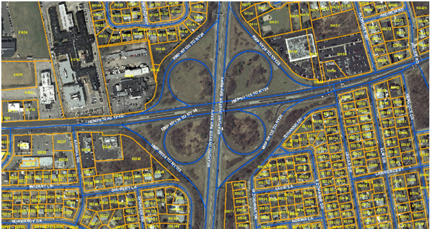
A geographic information system is a system designed to capture, store, manipulate, analyze, manage, and present spatial or geographic data. GIS applications are tools that allow users to create interactive queries, analyze spatial information, edit data in maps, and present the results of all these operations. Our technological expertise adds values to the services we offer. These services are provided to various local, state and federal government agencies, town planners, architects, utility companies.
It includes –
- Parcel Mapping
- Cadastral mapping
- Utility mapping
- Conversion/ Migration/ Maintenance
- Data collection/ Data entry
- Digitization/ Drafting
- Geo referencing