Engineering
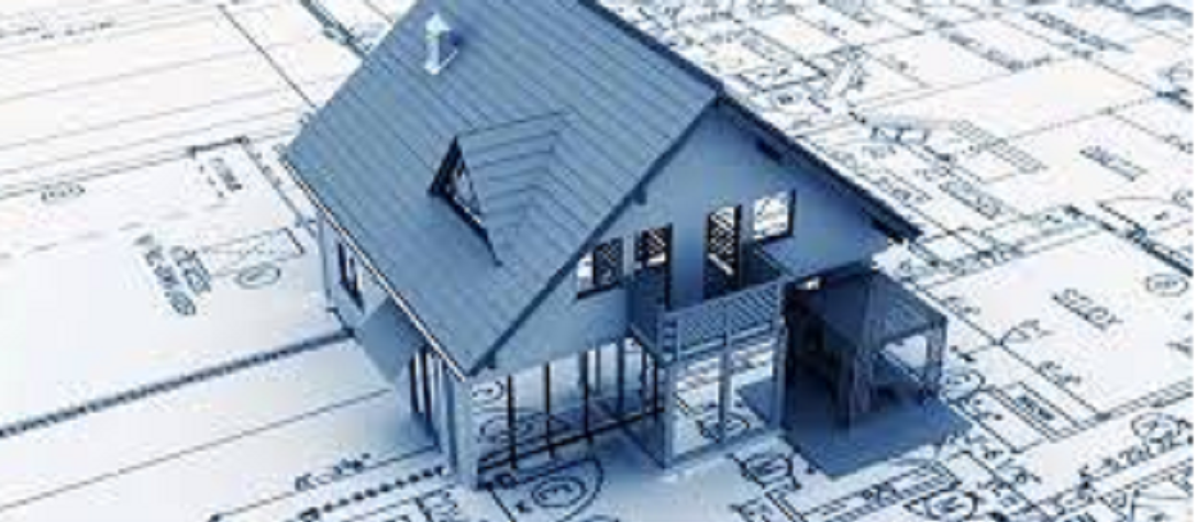
Lidar PointCloud offers a wide range of Engineering Drawing Conversion and Drafting services, starting from raster to digital data conversion to drafting bureau services where in teams at Lidar PointCloud works just like an extended arm to the architects, engineers and planners. Lidar PointCloud has extensive domain knowledge in Civil, Structural, MEP (Mechanical, Electrical and Plumbing) and Architecture verticals and employs SMEs to better understand the scope of the work and to ensure the quality.
Geospatial data helps to determine the best locations to put pipes with respect to regulatory, human, and environmental constraints and manage data for environmental permitting.Plan the safest, most profitable and most environmentally friendly routes when you expand your network.
Laser scanner is able to record millions of 3D points. These X,Y,Z measurements can be imported into CAD, GIS and engineering software. Standard geospatial products such as digital terrain model (DTM) or digital elevation model (DEM) can be derived from point cloud data and integrated into existing workflows.
Our services include Pipeline route planning including volumetric analysis and environmental disturbance.Identify structures within High Consequence Areas.